
Major U.S. fault zones that could produce dangerous earthquakes
California may be America’s most famous earthquake state, but some of the country’s most dangerous seismic threats lie hundreds or even thousands of miles away.
From the Cascadia Subduction Zone in the Pacific Northwest to the New Madrid Seismic Zone in the nation’s heartland, major fault systems run beneath cities, highways, coastlines, and communities that millions of Americans call home. Alaska and Hawaii face their own formidable hazards, while damaging earthquakes are possible even in parts of the eastern United States.
The latest U.S. seismic hazard research has reinforced just how widespread that risk is. Some faults can generate powerful regional earthquakes, while enormous subduction zones are capable of producing catastrophic shaking and tsunamis.
Scientists cannot predict exactly when the next major earthquake will strike. But they can identify where the danger is greatest—and some of America’s most consequential fault zones may be closer than you think.
Here are 12 earthquake threats worth knowing about.
Cascadia Subduction Zone
Cascadia is the quiet giant offshore, stretching roughly 600 to 700 miles from northern California, past Oregon and Washington, toward British Columbia, where one tectonic plate dives beneath another, like a dark blade sliding under a tablecloth.
The Pacific Northwest Seismic Network says the great Cascadia quake of January 26, 1700, ruptured much of a 1,000-kilometer undersea megathrust, and USGS research places Cascadia among the nation’s most serious hazards because it can produce both violent shaking and a tsunami.
A 2025 USGS fact sheet estimates a 15% chance of a magnitude 9 Cascadia earthquake in the next 50 years, assuming a time-based recurrence model tied to the 1700 event. That number may sound small until you remember what it represents: cities, ports, bridges, schools, coastal towns, and family homes waiting beside a fault that can move an ocean.
San Andreas Fault
The San Andreas Fault is famous for its reputation as a source of fear. The system runs roughly 800 miles through California, and the southern section near some of the state’s most crowded communities has not produced a major rupture since the 1857 Fort Tejon earthquake.
USGS’s ShakeOut Scenario modeled a magnitude 7.8 earthquake on the southern San Andreas Fault and estimated about 1,800 deaths and $213 billion in economic losses, with damage affecting buildings, lifelines, fire risk, and infrastructure. That is not a movie plot. That is a planning document with numbers cold enough to change the air.
Coastal California remains one of the highest-probability zones in the latest national hazard model, and the San Andreas still sits there like a scar that never stopped remembering how to open.
Mendocino Triple Junction
The Mendocino Triple Junction is where the map gets messy in the most dangerous way. In Northern California, the San Andreas system, the Cascadia Subduction Zone, and the Mendocino transform region meet, but research from UC Davis in 2026 found that the structure is more complicated than the tidy “triple junction” name suggests.
Scientists studying tiny earthquakes found at least five moving pieces beneath the region, and the work helps explain why the 1992 magnitude 7.2 Cape Mendocino earthquake occurred at a shallower depth than earlier models had predicted.
Amanda Thomas, a UC Davis professor of earth and planetary sciences and co-author of the study, gave the real warning behind the discovery: “If we don’t understand the underlying tectonic processes, it’s hard to predict the seismic hazard.”
That is what makes this fault zone unnerving. Some of the dangers are not hidden because they are small. It is hidden because the Earth is more complex than our old maps suggested.
New Madrid Seismic Zone
New Madrid is the fault zone that makes people in the middle of the country sit up a little straighter. It stretches across parts of Missouri, Arkansas, Tennessee, Kentucky, Illinois, Indiana, Mississippi, and Alabama, far from the California coastline most people associate with earthquakes.
The 1811 and 1812 New Madrid earthquakes were among the strongest in U.S. history, and Missouri’s Department of Natural Resources cites a FEMA HAZUS scenario in which a magnitude 7.7 New Madrid earthquake could cause about $296 billion in regional damage and displace nearly 730,000 people.
here because the built environment is distinct: older brick buildings, river bridges, pipelines, levees, and cities that do not always carry the threat of earthquakes in their public imagination. If San Andreas is the celebrity threat, New Madrid is the old ghost under the floorboards, quiet until the room starts shaking.
Wasatch Fault
The Wasatch Fault runs for about 240 miles along Utah’s Wasatch Front, close to Salt Lake City, Provo, Ogden, and a fast-growing urban corridor where mountain views come with a hard geologic edge.
USGS says several Wasatch segments are capable of earthquakes as strong as magnitude 7.5, and strong quakes above magnitude 6.5 have occurred about once every 350 years somewhere along the fault during the past 6,000 years.
Utah Geological Survey data adds a sharper local clock: the Salt Lake City segment averages a large earthquake about every 1,350 years, and the most recent one happened about 1,300 years ago. That does not mean tomorrow.
It means the risk is baked into the place. Valley sediments can amplify shaking, older masonry can crumble, and a major Wasatch quake would hit a region where everyday life is pressed tightly between the mountains and the fault.
Hayward–Rodgers Creek Fault System
The Hayward Fault does not need fame to be frightening. It runs beneath or near Oakland, Berkeley, Fremont, and dense East Bay neighborhoods where homes, schools, BART lines, water systems, and commute routes sit close to the danger.
Berkeley Seismology says the Hayward Fault has a 33% chance of producing a magnitude 6.7 or larger earthquake before 2043, and the broader Bay Area has a 72% chance of at least one such quake in that same period.
USGS points to the 1868 magnitude 6.8 Hayward earthquake as the region’s historical warning, and later research has shown that Hayward and Rodgers Creek may connect in ways that allow a larger through-going rupture.
That is why this fault can feel more personal to Bay Area readers than to San Andreas readers. It is not off in the distance. It runs through errands, office routes, train lines, and the blocks people call home.
Eastern Tennessee Seismic Zone
The Eastern Tennessee Seismic Zone does not roar often, but it keeps muttering under the Southeast. In May 2025, a magnitude 4.1 earthquake near Greenback, Tennessee, rattled homes across the region and was felt as far away as Atlanta, prompting more than 23,000 public reports to the USGS within the first hour.
AP reported that at least 15 earthquakes of magnitude 4 or larger had occurred within 155 miles of that event since 1950, with the largest a magnitude 4.7 near Knoxville in 1973. USGS spokeswoman Ayesha Davis explained why eastern quakes can surprise so many people: “Earthquakes in the East are felt over a much larger distance and by more people.”
That single line carries the threat. A moderate quake in the East can travel like gossip through old rock, crossing state lines before many families even know what woke the windows.
Charleston Faults
Charleston is proof that the East Coast has its own earthquake memory, even if that memory hides under cobblestones and church steeples.
The 1886 Charleston earthquake, often estimated at a magnitude of 7, damaged or destroyed much of the city, killed dozens, and was felt across a huge stretch of the eastern United States.
The National Archives notes that shaking from the Charleston quake was felt as far north as Boston, as far northwest as Chicago and Milwaukee, as far west as New Orleans, and even across water to Cuba and Bermuda.
CIRES reported in 2024 that scientists have gone back through old records to better understand the source fault behind that disaster, which shows how alive the question still is. Big East Coast quakes are rarer than California quakes, but rarity can be its own trap.
Many buildings, cities, and residents are less prepared because the danger feels like an old story, until the old story starts moving again.
Anchorage Region And Alaska Megathrusts
Alaska is America’s earthquake heavyweight, and Anchorage sits close enough to the action to know what that means. USGS says the 1964 Great Alaska Earthquake measured 9.2 on the Richter scale, lasted about 4.5 minutes, and remains the most powerful earthquake ever recorded in U.S. history.
It struck the Prince William Sound region, triggered tsunamis, damaged Anchorage, and sent destructive waves toward coastal communities. That quake was not an ancient myth, predating modern instruments. It happened in the age of cameras, roads, office buildings, and living memory.
USGS’s national hazard work keeps Alaska in the highest-risk conversation because subduction continues. It keeps loading stress offshore, under coastal towns and ports, and near places where landslides and tsunamis can trigger a chain reaction. If California is the earthquake state people know best, Alaska is the one that reminds us how large the scale can get.
Big Island Of Hawaii
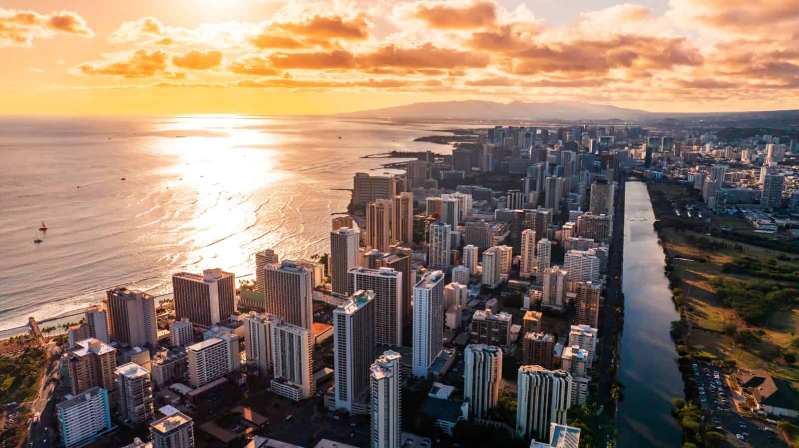
Hawaii’s earthquake story has fire in it. On the Big Island, shaking can come from deep tectonic stress, volcanic movement, and the restless south flank of Kīlauea, where the land can shift with startling force.
USGS says the May 4, 2018, magnitude 6.9 earthquake on Kīlauea’s south flank was Hawaii’s largest quake in 43 years, and the 2018 Kīlauea eruption sequence included about 80,000 earthquakes over three months.
The national hazard model has updated Hawaii’s risk using newer volcanic and seismic observations, which matters because island infrastructure has fewer easy detours when roads, utilities, and neighborhoods are damaged.
A shallow Big Island quake may not be San Andreas-length, but it has local punch. It can hit roads, cliffs, power lines, homes, and communities that already live with lava, vog, and the uneasy beauty of land still being made.
Central U.S. “Induced” Faults
Oklahoma changed the way many Americans think about earthquakes because the shaking occurred in a place where people did not expect it.
USGS explains that many Oklahoma earthquakes have been linked to wastewater disposal from oil and gas activity, and more than 90% of injected wastewater in Oklahoma is produced water from oil extraction rather than fracking fluid.
Research published by the USGS in 2024 found that reduced injection rates and shallower disposal depths helped reduce induced seismicity in Oklahoma, a rare, unsettling story with a practical lesson built into it.
A 2025 ScienceDirect paper led by Mark Zoback reported that nearly 4 billion cubic meters of produced water had been injected into Oklahoma, southern Kansas, and north-central Texas since 2010, triggering earthquakes as large as magnitude 5.8 and more than 200 magnitude 4 or greater events.
These faults are shorter than the Cascadia or San Andreas faults, but they lie beneath communities that often built without earthquake safety in mind.
Hundreds Of “New” Mapped Faults
The most unsettling fault line may be the one that has not yet fully appeared on the map. Hazard Model added nearly 500 additional faults capable of producing damaging earthquakes, becoming the first comprehensive, updated model covering all 50 states.
It also found that nearly 75% of the U.S. could face damaging shaking, with high-probability zones in places such as Alaska, coastal California, the Seattle region, the Big Island of Hawaii, and parts of the central and eastern U.S. Petersen called the project “a massive, multi-year collaborative effort” and described the model as a “touchstone achievement for enhancing public safety.”
That is the hopeful part inside the fear. Better maps do not stop the earth from moving, but they do give communities a sharper lantern in the dark. America is not split neatly into earthquake states and safe states. It is a spectrum, and science keeps finding new lines beneath our shoes.
The scariest thing about earthquake risk is not always the shaking. Sometimes it is the silence before it, the years of normal mornings, the grocery carts rolling, the kids heading to school, the bridges carrying traffic like nothing old and stressed lies below.
The newest science does not ask people to live in fear. It asks them to live awake. A fault line is not destiny, but ignoring one is a choice.
Key Takeaways
- Nearly 75% of the U.S. could experience damaging earthquake shaking, based on the latest USGS model.
- California still matters, but Cascadia, New Madrid, Utah, Alaska, Hawaii, and parts of the East deserve attention, too.
- The newest national model added nearly 500 faults, which shows how much the risk map can change as science improves.
- Eastern and central U.S. quakes can travel farther because older crust carries seismic waves more efficiently.
- Preparedness does not need panic. It needs stronger buildings, smarter infrastructure, and families that know what to do when the floor starts moving.
More articles you might like:
- 10 Essential Safety Tips For Women Driving Cross-Country Alone
- How To Spot “Dry Drowning” In Your Dog And 22 Canine Water Safety Essentials
- 10 Practical Home Safety Tips From Women Who Live Alone