12 reasons why a monster mega-tsunami could wash away 3 U.S. states
Scientists say the odds are low, but the forces capable of sending a devastating mega-tsunami toward America’s coasts are very real.
Imagine sitting on your porch in Florida, sipping your morning coffee, completely unaware that a wall of water over 100 feet tall is rushing toward the coast at 500 miles per hour. While that sounds like a movie plot, the threat of a mega-tsunami hitting the United States is real, and scientists spend their careers investigating and modeling it.
These massive waves aren’t triggered by normal offshore earthquakes. Instead, they happen when entire mountainsides suddenly collapse into the ocean all at once.
If one of these massive landslides triggers a worst-case scenario, the resulting water would slam into the East or West Coast within hours, completely flooding major cities, destroying critical infrastructure, and permanently altering the coastline.
The Canary Islands Ticking Clock
Deep in the Atlantic Ocean, the Cumbre Vieja volcano on the island of La Palma remains a primary focus of global catastrophe research. Geologists have spent decades tracking a massive, unstable fracture running along the western flank of this highly active volcanic peak, noting that it shifts during major seismic events.
A sudden, catastrophic collapse could instantly dump a massive block of rock into the deep ocean waters.
In the original Ward and Day paper, researchers estimated that a future west-flank failure at Cumbre Vieja could involve roughly 150 to 500 cubic kilometers of rock, enough to generate a powerful Atlantic tsunami that remains one of the most debated collapse scenarios in geologic hazard research.
The Vulnerability of Low-Lying Florida
Florida stands directly in the crosshairs of an Atlantic Ocean displacement event because its average elevation is remarkably close to sea level. The state possesses thousands of miles of sandy shorelines and flat coastal plains that offer no natural geographic barriers, such as cliffs or mountains, to slow a rising ocean surge.
A transoceanic wave would effortlessly push miles inland, swallowing entire coastal cities, bustling ports, and luxury beach resorts within minutes of its initial impact.
National tsunami mapping maintained by the U.S. Weather Service already includes multiple Florida coastal counties in official inundation assessments, showing that parts of the state are actively modeled for tsunami flooding rather than treated as immune to the hazard.
New York City Coastal Funnels
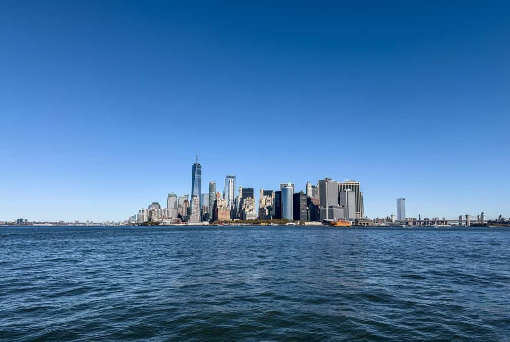
The unique geographic shape of New York Harbor acts like a giant funnel, concentrating and amplifying incoming ocean surges. As deep-sea waves approach the shallow waters of the metropolitan coast, their massive energy compresses horizontally and forces the rising water column straight upward into the city.
Wall Street, the historic financial district, and the lower Manhattan subway grids would quickly fill like concrete bathtubs under a massive, unyielding deluge.
NOAA presentations developed after Hurricane Sandy describe New York Harbor as a place of increasing storm risk where surge is strongly shaped by harbor geometry, a real-world warning that confined urban coastlines can amplify incoming water in dangerous ways.
The Overlooked Threat To New Jersey
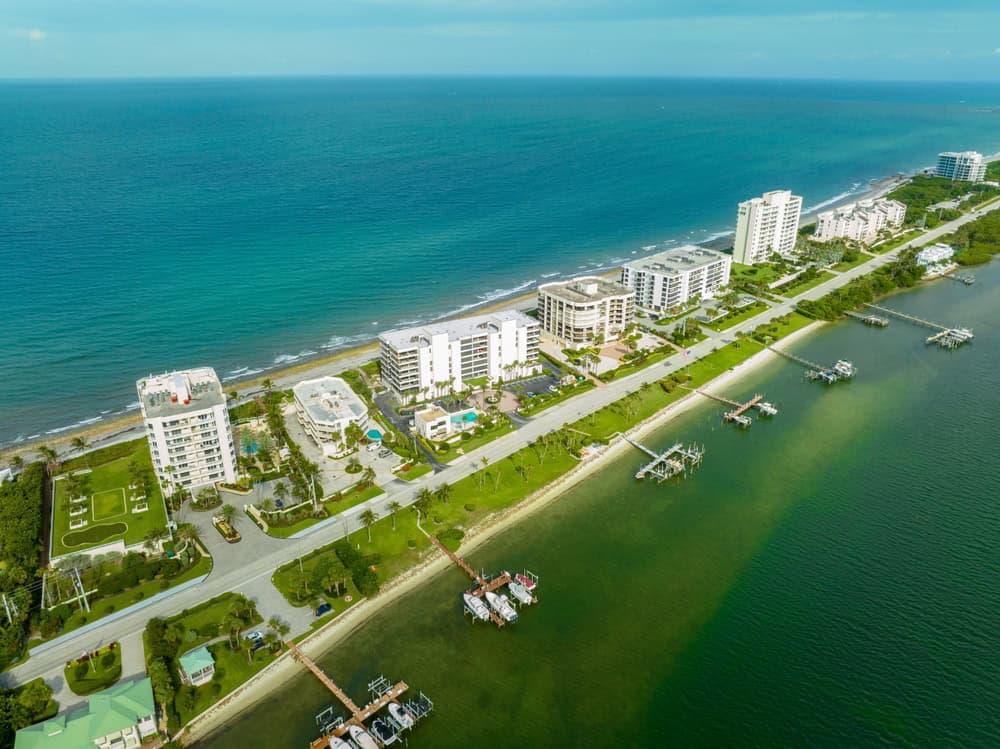
New Jersey features a highly developed coastline packed with residential communities and major infrastructure right at the edge of the Atlantic Ocean. The state possesses vast stretches of low barrier islands that would immediately disintegrate under the sheer hydrodynamic impact of a multi-story wall of water.
A massive surge would wash entirely over these protective sandy strips, turning inland bays into raging currents that swallow suburban neighborhoods.
The USGS notes that Sandy Hook, part of New Jersey’s barrier-island system, has experienced long-term erosion and deposition from overwash events, confirming how physically vulnerable this shoreline already is to extreme marine forces.
The Pacific Northwest Cascadia Subduction Zone
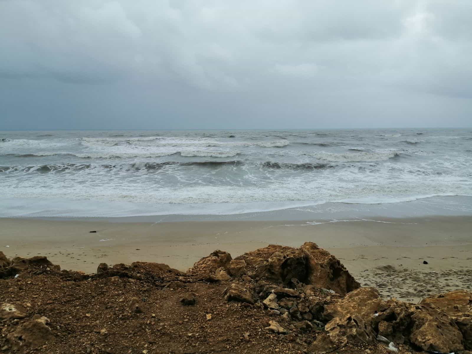
Over on the West Coast, a completely different monster is sleeping right off the shores of Washington, Oregon, and Northern California. The Cascadia Subduction Zone is a massive, continuous fault line where oceanic plates are violently jamming beneath North America, building up immense pressure over centuries.
When this locked fault line eventually snaps, it will lower the ocean floor by several meters across a massive area, displacing trillions of gallons of water.
USGS community planning materials for Cascadia scenarios note that tsunami waves are estimated to arrive in places like Ocean Shores about 25 minutes after generation, which shows how brutally short the escape window can be for nearby coastal populations.
Unstable Underground Submarine Landslides
Many people forget that some of the largest water displacements occur entirely underwater, without a volcanic eruption ever breaking the ocean’s surface. The continental slope off the American eastern seaboard is loaded with unstable, fragile piles of ancient sediment that are waiting to slip.
A moderate offshore earthquake could shake these fragile underwater hills loose, sending millions of tons of mud tumbling into deep ocean trenches.
NOAA’s historical review of the 1929 Grand Banks disaster explains that seafloor sediments broke loose in an underwater landslide, generating tsunami waves reported as high as 13 meters, demonstrating that submarine failures alone can produce lethal coastal impacts.
The Danger Of Extreme Oceanic Speeds
In the deep open ocean, a mega-tsunami does not look like a giant wall of water, but travels at an astonishing, jaw-dropping velocity. These waves can easily clock speeds of 450 miles per hour, matching the speed of a commercial airliner as they move across deep waters.
Because they move so fast, a wave triggered in the distant Atlantic or Pacific would cross the ocean basin in just a few hours. This leaves coastal populations with a very narrow window to organize mass evacuations from the danger zones.
The Treacherous Power Of Wave Run-Up
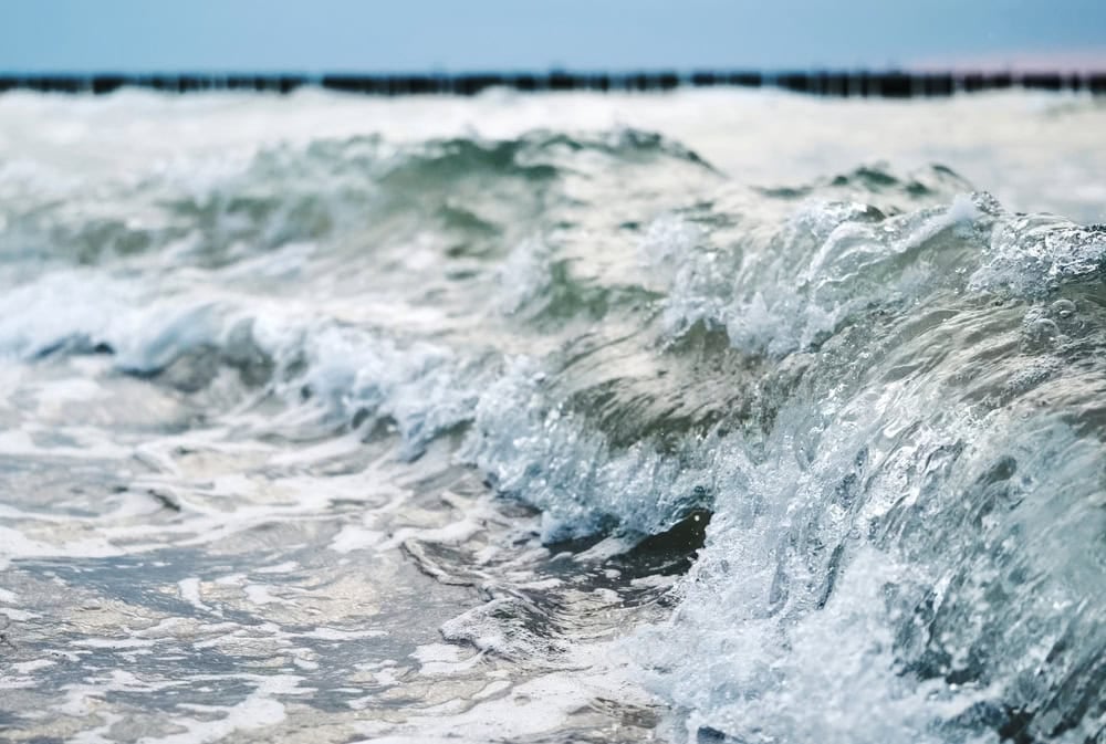
When a tsunami enters shallow coastal waters, its immense speed drops dramatically, but its vertical height explodes as the back of the wave catches up. This physical phenomenon transforms a modest deep-water swell into a terrifying tower of froth, rocks, and crushed debris.
The danger is not just flooding, but also how high the water can rise once local geography constrains and redirects it. NOAA’s coastal flood guidance specifically lists tsunami run-up zones among mapped coastal flood hazards in U.S. planning tools, showing that vertical inland reach is a core part of modern risk assessment, not a fringe idea.
Decelerating Landslide Mass Dynamics
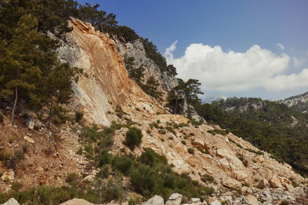
The ultimate height of a landslide-generated wave depends heavily on how fast the collapsing rock mass decelerates when hitting the seabed. When a massive mountainside hits the flat ocean floor, a sudden deceleration creates a massive kinetic whip that thrusts the water forward.
This physical reaction throws the displaced water forward with a level of concentrated violence that standard tectonic earthquakes cannot replicate. It creates a hyper-destructive column of water that completely obliterates everything in its path, from coastal islands to mainland cities.
Historic Warnings From Lituya Bay
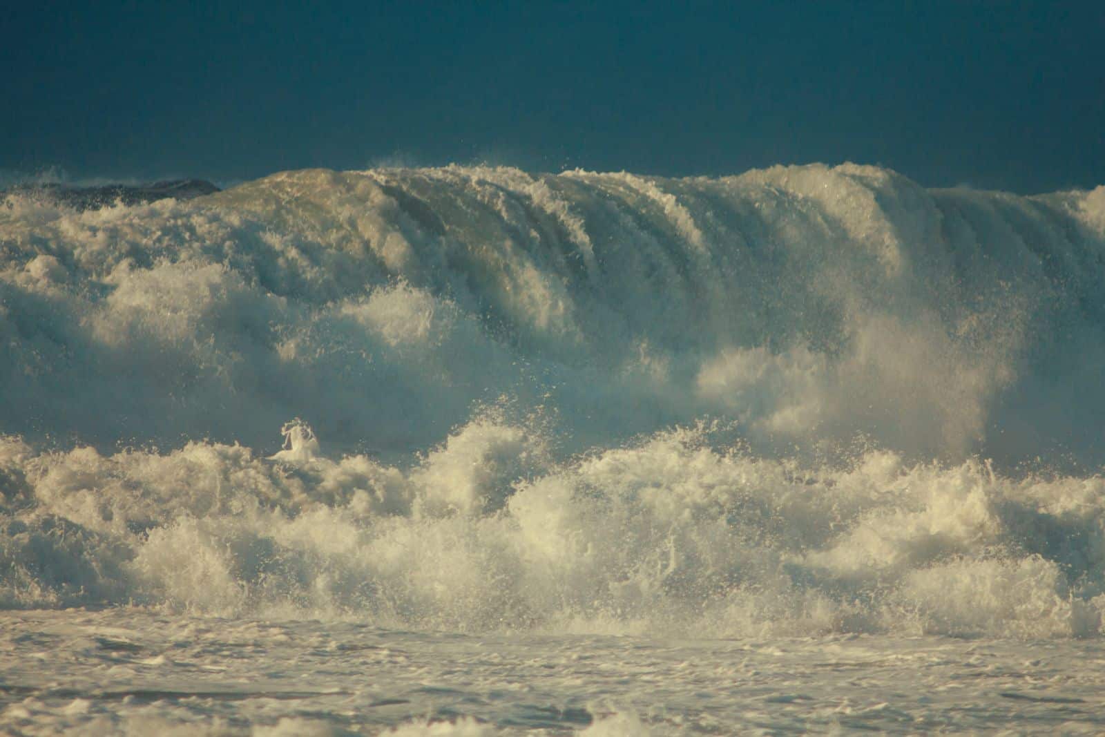
We actually have clear historical proof of how high these monster waves can climb when mountainsides collapse into deep, confined water. Back in the middle of the last century, a massive earthquake shook the pristine wilderness of Alaska, loosening millions of tons of rock.
The U.S. Geological Survey states that the giant wave generated in Lituya Bay in 1958 destroyed forest to a maximum altitude of 1,720 feet, making it one of the clearest real-world examples of how extreme run-up can become in a narrow coastal basin.
The Modern Reality Of Climate Transitions
Recent geological monitoring shows that changing global temperatures are actively destabilizing coastal mountain ranges and glaciers worldwide. Melting ice sheets leave behind steep, unsupported rock faces that are highly prone to sudden, violent collapse into the water below.
A 2026 University of Washington report on a 2025 Alaska event described a landslide-generated tsunami in Tracy Arm Fjord that reached 481 meters, linking the collapse to glacial retreat and highlighting how warming conditions can prime slopes for catastrophic failure in busy tourist waterways.
The Terrifying Scope Of The Scientific Warning

The theoretical reality of this oceanic threat was famously calculated in a landmark geological study that shook the scientific community to its core. Researchers modeled exactly what would happen to the American coastline if a massive island collapse occurred in the Atlantic.
According to the original Ward and Day study, a large La Palma flank failure could produce an ocean-crossing tsunami scenario severe enough to reshape hazard discussions on both sides of the Atlantic, even though the exact scale and likelihood remain heavily debated today.
Key Takeaway

While the probability of a monster mega-tsunami washing away Florida, New York, and New Jersey remains extremely low in our lifetime, the geological mechanisms capable of triggering such an event are entirely real.
Decades of oceanographic research show that coastlines remain exposed to massive water displacements from volcanic collapses and submarine landslides, while official tsunami and flood mapping confirms that both Atlantic and Pacific communities are still actively planning for extreme inundation scenarios.