How U.S. cities secretly rewrote map boundaries to block Black families
Have you ever looked at a city map and wondered why some neighborhoods suddenly feel completely different? It’s not just a random coincidence or a matter of personal taste. In fact, local governments spent decades playing a sneaky game of real-life SimCity to keep Black families segregated.
Local planners and federal officials used sneaky cartographic tricks, from weird border detours to highway planning, to enforce racial segregation and choke off Black wealth. As author Richard Rothstein wrote in The Color of Law, “the government was not following preexisting racial patterns; it was imposing segregation where it hadn’t previously taken root.” This wasn’t accidental; it was a deliberate blueprint to divide us.
The sneaky trick of municipal underbounding

Municipal underbounding is one of the most toxic cartographic tricks you’ve probably never heard of. It happens when a town draws its borders in a bizarre zigzag to intentionally exclude nearby Black neighborhoods. By keeping these communities outside city limits, local governments legally starved them of basic public resources.
Look at Moore County, North Carolina, where wealthy, white golfing towns like Southern Pines and Aberdeen created a “tortured maze” of borders. Planners literally drew lines around Black enclaves such as Jackson, Hamlet, and Midway, leaving holes in the map. While white residents enjoyed clean water and trash pickup, adjacent Black residents had to watch garbage trucks roll past their streets to serve white neighborhoods.
It gets worse. In Zanesville, Ohio, Black families in the Coal Run neighborhood spent nearly 50 years begging for running water. Because they were excluded from municipal boundaries, they had to haul water from the city plant or pump contaminated water from old mining wells. This geographic neglect kept property values artificially low and blocked economic growth.
Berkeley’s clever zoning loophole
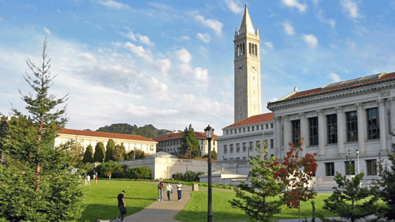
As explicit racial laws faced legal challenges, cities got creative. In 1916, Berkeley, California, invented single-family zoning as a clever workaround to keep neighborhoods white. Developer Duncan McDuffie, a prominent figure who actually served as Sierra Club president, wanted to protect his high-end estates from “inharmonious” racial groups.
McDuffie knew that deed restrictions banning “persons of African or Mongolian descent” had expiration dates. So, he helped push Berkeley Ordinance No. 452, which outlawed building anything other than single-family homes. By banning duplexes and apartments, the city quietly priced out low-income Black and Asian families without ever mentioning race.
This “colorblind” trick was so effective that the rest of the country copied it instantly. In 1928, Commerce Secretary Herbert Hoover published a “Zoning Primer” pushing this Berkeley-style zoning nationwide. Today, single-family zoning covers roughly 70 percent of all residential land in America, keeping the exclusionary legacy alive.
Detroit’s physical six-foot barrier
Sometimes, municipal mapping was done with literal brick and concrete. In 1941, developers in Detroit wanted to build a white subdivision right next to a predominantly Black neighborhood. The Federal Housing Administration refused to insure the mortgages because they labeled the nearby Black area “blighted” and “hazardous.”
To get the federal cash flowing, the developer built a massive, six-foot-tall, one-foot-thick concrete wall. Known as the Birwood Wall, this physical divider stretched for blocks to separate the white and Black homes. Once the barrier was up, the government happily approved loans for the white buyers.
The wall still stands today, a concrete scar of government-approved racism. Though both sides have been predominantly Black since the 1970s, their legacy remains painful. It shows exactly how far planners went to physically enforce their segregationist maps.
Baltimore’s block-by-block quarantine
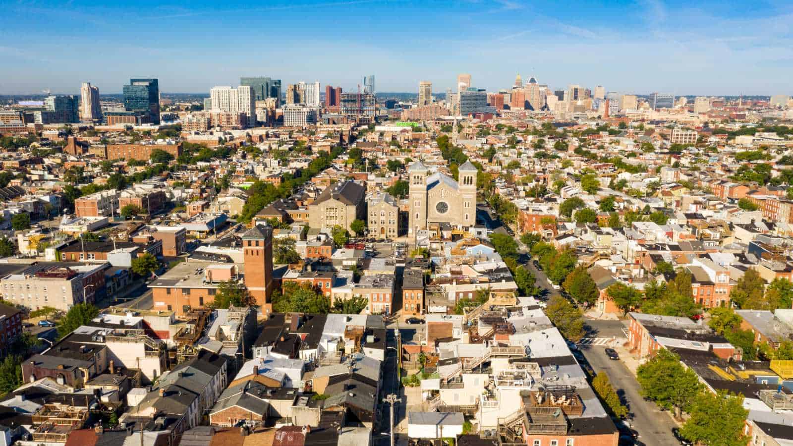
Baltimore was the proud inventor of the nation’s first racial zoning ordinance back in 1910. The city panicked after W. Ashbie Hawkins, a prominent Black attorney, bought a house in a white neighborhood. The response was Ordinance 610, which made it illegal for Black residents to move onto majority-white blocks.
Baltimore’s mayor, Barry Mahool, defended the law by saying Black residents “should be quarantined in isolated slums” to protect property values. When the Supreme Court struck down these explicit racial rules in 1917, Baltimore didn’t back down. Instead, they directed health and building inspectors to selectively cite anyone renting or selling to Black families in white areas.
These localized bans paved the way for federal redlining, where Black neighborhoods were colored red on maps. This map-based economic starvation locked Black families into declining areas. It successfully prevented generations of Black Americans from accumulating property equity.
Highway routing as urban demolition

When sneaky zoning laws weren’t enough, cities just plowed highways straight through Black neighborhoods. Take Miami’s Overtown, a legendary Black hub of 40,000 residents once called the “Harlem of the South.” In 1956, planners routed Interstate 95 right through Overtown, ignoring alternative routes along empty rail lines.
The construction wiped out 40 square blocks and immediately destroyed 10,000 homes. By 1968, only 8,000 of Overtown’s 40,000 residents remained, decimating a thriving community. This wasn’t just a Miami thing; similar demolition happened to Syracuse’s 15th Ward and St. Paul’s Rondo neighborhood.
Highways became physical walls that let white suburbanites commute while tearing Black wealth to shreds. It was the ultimate form of geographic erasure. And because properties in Black neighborhoods were systematically devalued, displaced families were paid pennies compared to white homeowners.
Key takeaway

The modern racial wealth gap is not an accident; it was deliberately mapped. Through sneaky zoning, underbounding, walls, and highways, local governments systematically choked off housing equity for Black families.
Today, homes in formerly redlined areas remain valued at roughly half of those in greenlined neighborhoods, leaving a multi-billion dollar legacy of economic exclusion.
Disclaimer – This list is solely the author’s opinion based on research and publicly available information. It is not intended to be professional advice.
Like our content? Be sure to follow us