10 real reasons why America’s strange geography totally confuses the rest of the world
Driving across the United States often feels like navigating a series of bizarre spatial anomalies. The physical layout is packed with quirks that leave international onlookers completely baffled. It’s a land where straight lines are crooked and time zones bend in circles.
The truth is, America’s legal borders, regional names, and administrative boundaries frequently defy plain cartographic logic. It’s a patchwork of historical accidents and spatial puzzles. From hidden exclaves to massive counties, the map is full of surprises.
The sheer scale of domestic travel distorts global distance expectations

International travelers often fail to grasp the gargantuan scale of the American landscape. A road trip can easily exceed the combined length of several European nations. It’s a massive shift that catches outsiders completely off guard.
The average American travels over 16,000 miles per year, with over 13,000 of those miles spent driving. In contrast, Europeans average only 8,500 miles annually across all modes. This dramatic difference in mobility shapes how Americans view distance and travel.
The “Midwest” is actually located in the eastern half of the country

Calling states like Ohio and Indiana the “Midwest” seems completely ridiculous to outsiders. Geographically, they sit firmly in the eastern half of the continent. The name is a relic from when the Appalachians marked the western frontier.
As the nation expanded to the Pacific, the old frontier became the middle of the West. Geographer James Shortridge noted that the region’s identity remains pastoral despite containing massive cities. Today, most Americans still identify Iowa and Kansas as the true heart of the region.
The Arizona “time donut hole” causes total clock chaos
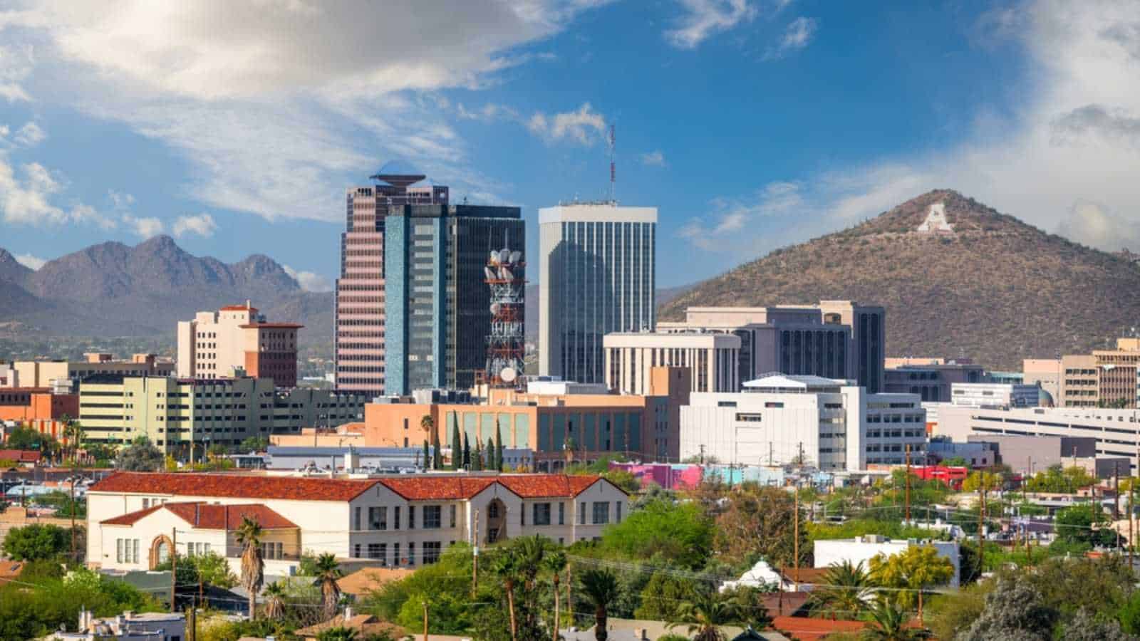
Arizona rejects daylight saving time, but tribal lands create a dizzying exception. The Navajo Nation observes the seasonal time shift. Meanwhile, the Hopi Reservation sits entirely inside the Navajo Nation and refuses to change its clocks.
This creates a “time donut” where driving a short distance results in multiple clock shifts. Traveling along Route 264 east from Tuba City involves six time changes in under 100 miles. It’s a bizarre localized anomaly that makes coordinate timekeeping nearly impossible in the summer.
Point Roberts is an American town reachable only through Canada
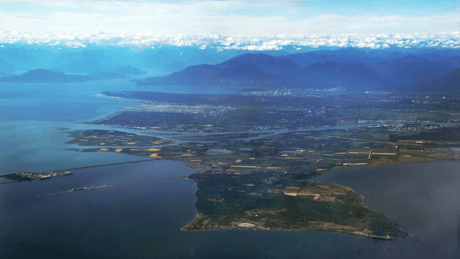
Point Roberts, Washington, is a tiny American community cut off from the mainland. It’s a pene-exclave located at the tip of a Canadian peninsula. To reach it by land, travelers must drive 40 kilometers through British Columbia.
This oddity was born in 1846 when the border was set at the 49th parallel. Negotiators overlooked how this straight line sliced through the Tsawwassen peninsula. Despite historical discussions about ceding the land, the territory’s status remains completely unchanged.
The Northwest Angle was created by a massive mapping blunder
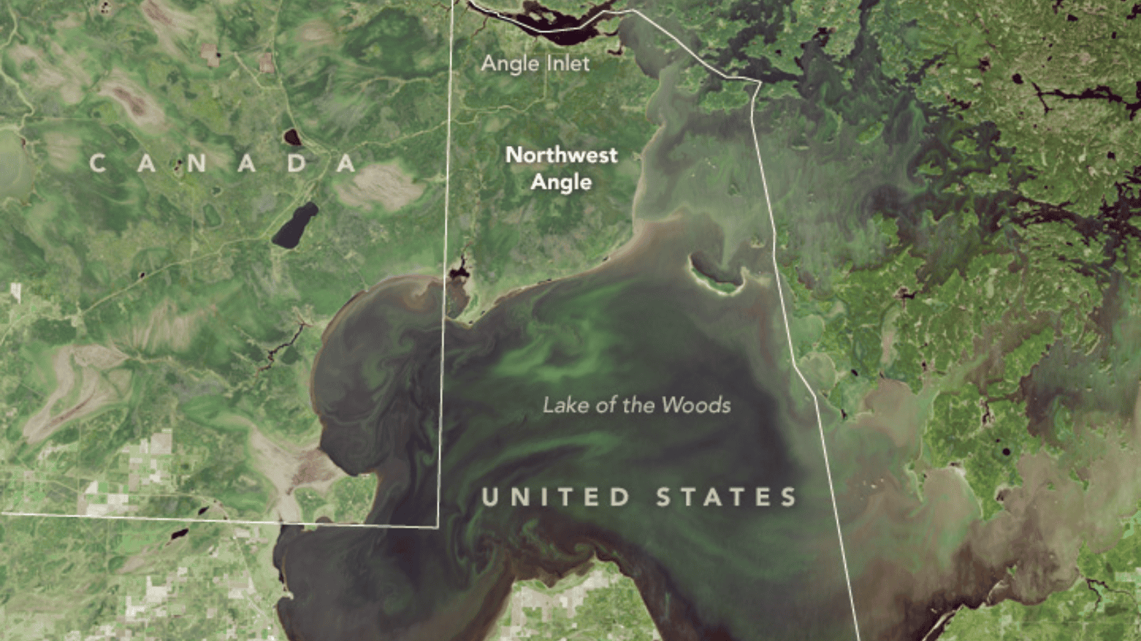
Minnesota shares a bizarre northern border with Canada, born from a map error. Treaty negotiators used a faulty map that misplaced the source of the Mississippi River. This mistake cut off a 123-square-mile chunk of land known as the Northwest Angle.
Today, about 70% of the land is held in trust by the Red Lake Indian Reservation. The township also operates the last one-room public school in Minnesota. It’s an isolated enclave where residents must cross a lake or drive through Canada to reach the mainland.
Guam is the westernmost territory where the American day begins
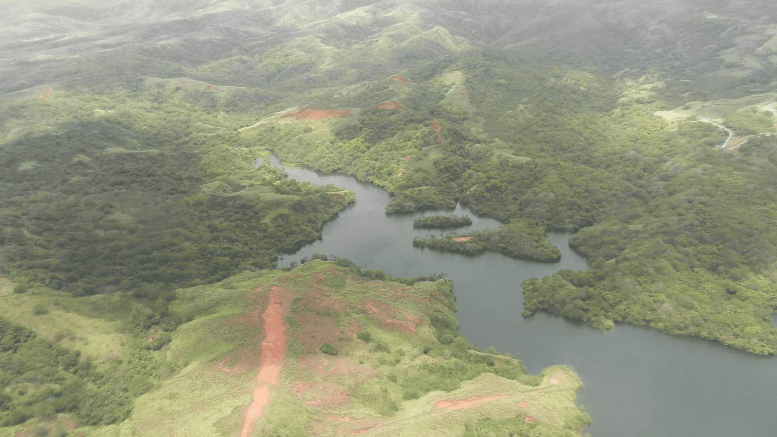
Guam sits across the International Date Line, making it a unique geographical outlier. Located in the Western Pacific, this unincorporated territory is where America’s day begins. It is a full 18 hours ahead of the Pacific Time Zone.
This strategic military hub sits far closer to Asia than to the U.S. mainland. Ferdinand Magellan encountered it in 1521, beginning centuries of foreign rule before the U.S. took control in 1898. Today, its rich Chamorro heritage thrives alongside a massive federal military presence.
San Bernardino County is literally larger than Switzerland
Western administrative divisions in the United States operate on a massive scale. San Bernardino County covers a mind-boggling 20,105 square miles. This single county is actually larger than the entire nation of Switzerland.
The county features a vast expanse of deserts, mountains, and valleys stretching to the Nevada border. It is also larger than New Jersey, Connecticut, Delaware, and Rhode Island combined. For visitors used to compact nations, crossing a single county this massive is a shock.
Kansas City is actually two different cities in two different states

A common geographical misconception is that Kansas City lies entirely in the state of Kansas. In reality, the oldest and largest portion of the city is in Missouri. The Town of Kansas was incorporated in 1850, years before Kansas became a state.
Later, adjacent towns in Kansas merged and adopted the same name to mimic Missouri’s economic success. Today, the metro area is split by State Line Road, dividing residents by state taxes, laws, and services. It is a single, continuous urban sprawl split by a highly confusing border.
The Interstate highway system uses a highly calculated mathematical grid
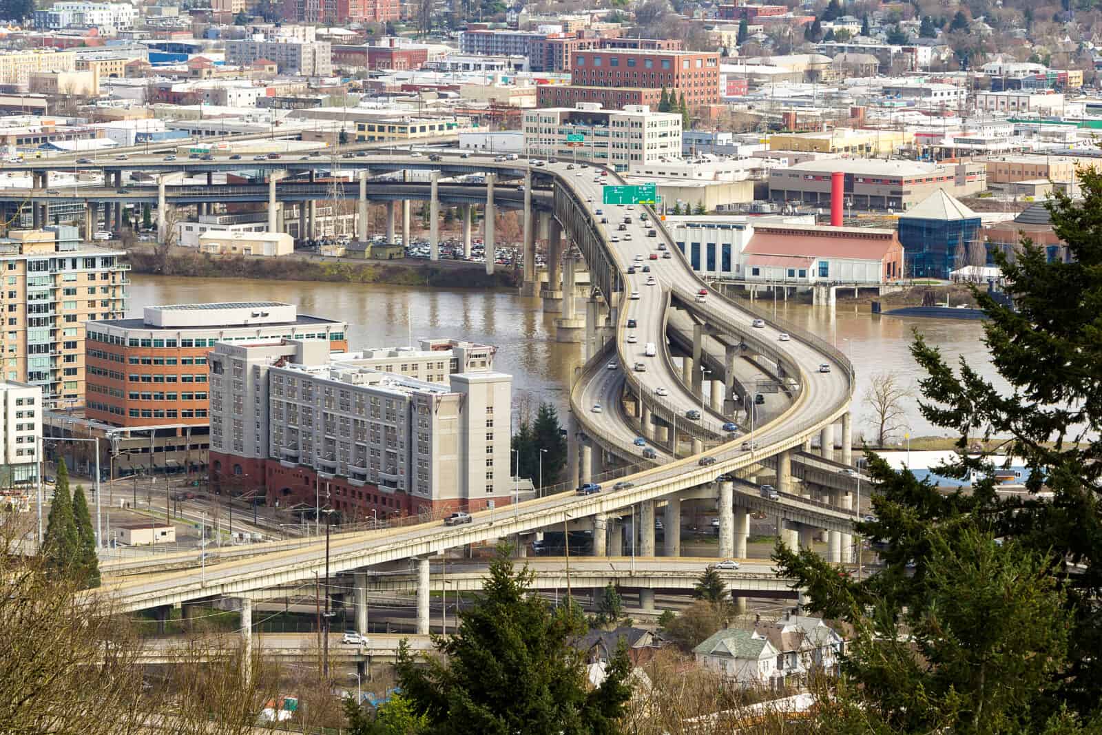
To foreign tourists, the numbers on U.S. highways might look like complete gibberish. However, the Interstate system actually follows a highly calculated grid. Even-numbered routes run east-west, while odd-numbered routes run north-south.
The numbering increases toward the northeast, meaning low numbers start in the south and west. Three-digit Interstates act as beltways or spurs, with even prefixes looping around cities and odd prefixes branching off. This hidden logic allows travelers to navigate across states without looking at a map.
Straight state borders are actually crooked due to historical errors

Many Western state borders look like perfect, laser-straight lines on maps. In reality, these lines are incredibly crooked and feature hundreds of tiny, jagged corners. Early surveyors measured rugged terrain using only basic compasses and metal chains.
A massive surveying blunder on the Texas-New Mexico border left a 2.3-mile jog to the left. This mistake accidentally granted Texas a 942-square-mile strip of land that should have gone to New Mexico. Because physical historical markers take precedence over theoretical math, these crooked lines remain permanent.
The final takeaway

America’s bizarre geography is a direct product of rapid westward expansion and local sovereignty. These anomalies prove that political boundaries and cultural labels rarely align with neat geometry. For outsiders, navigating this vast country requires tossing out standard maps and embracing historical accidents.
Disclaimer – This list is solely the author’s opinion based on research and publicly available information. It is not intended to be professional advice.
Like our content? Be sure to follow us