12 U.S. states where groundwater depletion is becoming a growing concern
America’s next water emergency may not arrive with a roaring river. It may start with a pump that must reach farther, a field that turns brown at the edges, or a family that learns its well needs a deeper pipe.
USGS estimates show the nation lost about 1,000 cubic kilometers of groundwater from 1900 through 2008, a volume nearly twice that of Lake Erie. Much of that loss came from water stored out of sight for centuries.
This is no longer a story tied to one dry corner of the map. A 2024 President’s Council of Advisors on Science and Technology federal groundwater report says aquifers provide drinking water for about half of Americans and nearly all rural residents.
USGS data places the largest historic losses in the High Plains aquifer at 340.9 cubic kilometers, the Mississippi Embayment at 182.0 cubic kilometers, and California’s Central Valley at 144.8 cubic kilometers.
This editorial ranking weighs measured water-level and storage losses, fresh well data, and documented supply risks. It is not an official federal scoreboard, yet the pattern is plain enough to deserve attention.
South Dakota
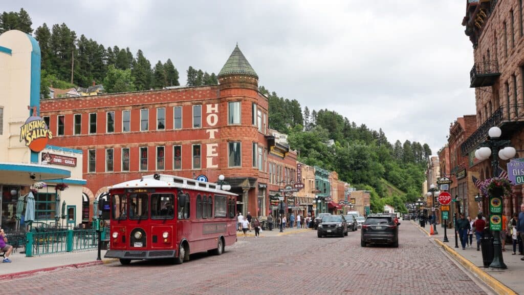
South Dakota lands at No. 12 with an important caveat. USGS data indicate that the High Plains aquifer gained an average of 0.5 feet in water level and 0.2 million acre-feet of storage from predevelopment through 2019. That means this is not a statewide depletion emergency.
Still, water pressure can grow long before a statewide average turns negative. In the Black Hills, a 2025 USGS study found the population rose 73% from 1980 to 2022, while groundwater permits approved since 2000 far exceeded surface-water permits.
The state still has room to make wise choices, and that is worth holding onto. Its lesson is simple: good planning works best while the well still has a little extra depth to give.
Wyoming
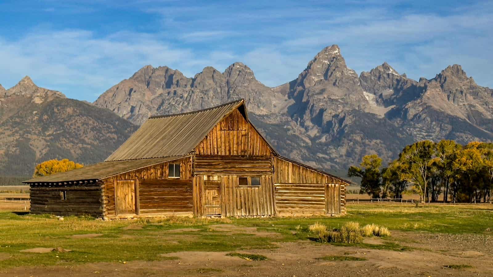
Wyoming’s part of the High Plains aquifer recorded an average decline of 0.8 feet and a storage loss of 0.5 million acre-feet through 2019, according to USGS data. Those figures are modest beside the drops farther south, yet dry country does not need a giant loss to feel the strain.
In the LaGrange area, Wyoming water officials have used local controls on new large-capacity wells for years, a sign that nearby users already saw limits worth protecting. This is the kind of water story that can stay quiet for a long time.
Ranchers, small towns, and irrigators may all pull from the same buried reserve. A small decline can become expensive once pumps run longer and wells must go deeper.
Nebraska

Nebraska often looks safer than its neighbors on broad aquifer maps. The USGS found that its long-term High Plains average fell by just 0.4 feet through 2019. Yet the latest well checks tell a more uneven story.
University of Nebraska-Lincoln researchers measured roughly 4,900 wells in 2024 and 2025 and found an average drop of 0.29 feet, with 62% of wells declining. Some Panhandle wells fell more than 10 feet in one year.
Nebraska has deep water in many places and strong local management in others, but a statewide average can hide a troubled county. For families who farm or live near those sharper declines, the map feels less like a broad blue safety net and more like a patchwork quilt with thin spots.
Colorado
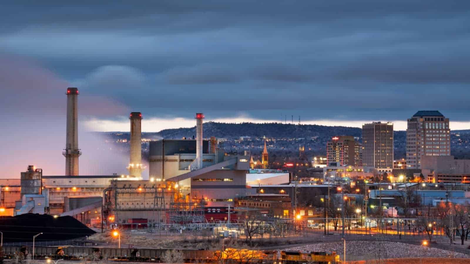
USGS data shows Colorado’s High Plains aquifer area lost an average of 14 feet of water level and 18.3 million acre-feet of storage through 2019. The numbers already carry weight, yet the Republican River Basin gives them a human face.
Water Education Colorado reported that growers had retired 10,000 irrigated acres by early 2025, with a compact target of 25,000 acres by 2029. A pivot circle can look like a green coin from the road, bright against a dry plain. When it goes out of production, the change reaches past one farm.
It touches equipment dealers, schools, diners, and the small towns that grew around irrigated fields. Colorado’s challenge is not just saving water. It is helping rural communities live well with less of it.
Oklahoma

The Oklahoma Panhandle has long relied on the Ogallala aquifer as a steady partner for crops, cattle, and towns.
A 2026 USGS report found an average water-level decline of 20.28 feet and a storage loss of about 6.1 million acre-feet from predevelopment through 2019. The water budget is harder to ignore.
From 1998 to 2022, estimated annual withdrawals averaged 422,054 acre-feet, while recharge averaged 175,068 acre-feet. Some of this water entered the ground thousands of years ago. It does not hurry back after a wet spring.
The Panhandle still has hard-working people, smart growers, and strong local ties. Yet each season asks a question that gets louder: how long can an old reserve carry a modern demand?
New Mexico
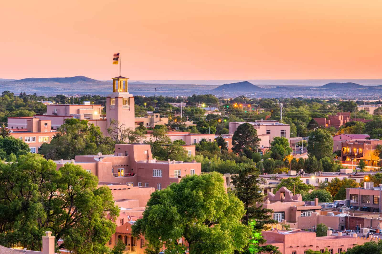
New Mexico’s High Plains aquifer area lost an average of 19.1 feet of water level and 11.4 million acre-feet of storage through 2019, USGS data shows. The wider climate picture adds another layer of concern.
State water information reports that only about 1.8% of New Mexico’s precipitation becomes groundwater recharge. A state water-plan review projects a 25% to 30% decline in water supplies in the coming decades, driven largely by hotter conditions and weaker surface-water flows that also feed aquifers.
This is a place where water has always shaped the rhythm of daily life. Chile fields, pecan groves, pueblos, cities, and ranches all carry that history. The reassuring part is that New Mexico knows scarcity well. Its next chapter can build on that hard-earned knowledge.
Mississippi
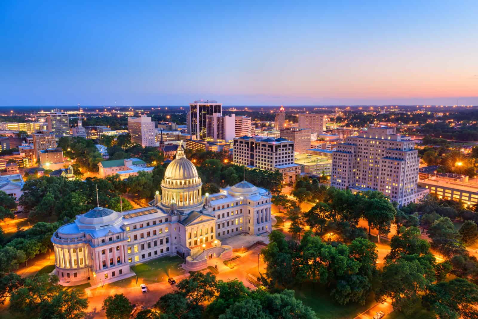
The Mississippi Delta has rich soil, long rows of crops, and a growing dependence on groundwater. Mississippi environmental data lists more than 24,000 permitted irrigation wells in the shallow Mississippi River Valley alluvial aquifer.
USGS modeling across the wider alluvial plain found that groundwater withdrawals for irrigation and other uses exceeded 12 billion gallons a day on average. Under dry and warm model conditions, some Delta areas could see water-level declines of 10 meters or more by midcentury.
That is a model result, not a promise of what must happen. Still, it shows why the aquifer cannot remain an endless backup plan. Rice, soybeans, cotton, and small-town water systems all draw from the same unseen source. Saving it means protecting the region’s future, not closing the door on its past.
Arkansas

Arkansas knows how much its farms depend on water. The USGS found that groundwater pumping for irrigation in the Cache and Grand Prairie areas has risen 665% since 1965.
The Arkansas Department of Agriculture says groundwater makes up about 71% of the state’s water use, while crop irrigation accounts for roughly 80% of overall demand. Those figures explain why the state has designated parts of eastern Arkansas as Critical Groundwater Areas.
There is some hopeful news in the record. Recent wet years have helped water levels in certain places. Yet officials still describe long-term pressure in the east and south, where withdrawals remain too high for the aquifer to fully recover.
Arkansas has the tools to respond through surface-water projects, recharge, and smarter irrigation. The work now is keeping that progress moving before the margin gets smaller.
Arizona
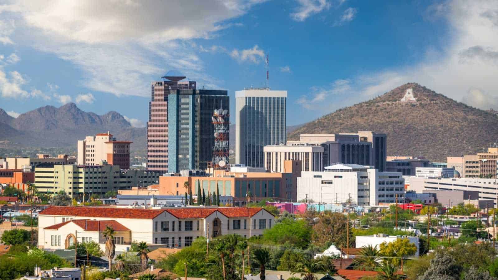
Arizona’s water debate has moved from abstract worry to hard measurements. In the Ranegras Plain, the Arizona Department of Water Resources found annual withdrawals running about 900% above natural recharge.
One monitored well had dropped more than 240 feet since the 1980s. The agency’s 2025 Phoenix-area analysis also found an estimated 3.6 million acre-foot supply gap over 100 years under current assumptions.
Those figures help explain why groundwater rules now shape decisions about farms, development, and long-term growth. Arizona State University hydrologist Jay Famiglietti warns, “Groundwater is disappearing 2.4 times faster than the surface water.”
The hopeful part is that the state is measuring more, setting clearer limits, and building plans around the water that is truly there.
Kansas

Kansas received a small but welcome lift in 2025. The Kansas Geological Survey reported an average 0.2-foot rise across the High Plains aquifer, ending five years of declines. That rain-bright spot sits inside a much longer story.
USGS data shows Kansas lost an average of 27.3 feet of water level and 72 million acre-feet of storage through 2019. From 1996 through 2025, the statewide average decline remained 0.57 feet per year, with southwest Kansas declining faster.
A wet year can give a field room to breathe. It cannot refill decades of pumping by itself. Kansas has also shown that local conservation plans can slow losses in some places. That matters. The goal is not to mourn an aquifer. It is to give the towns and farms above it more years to thrive.
California
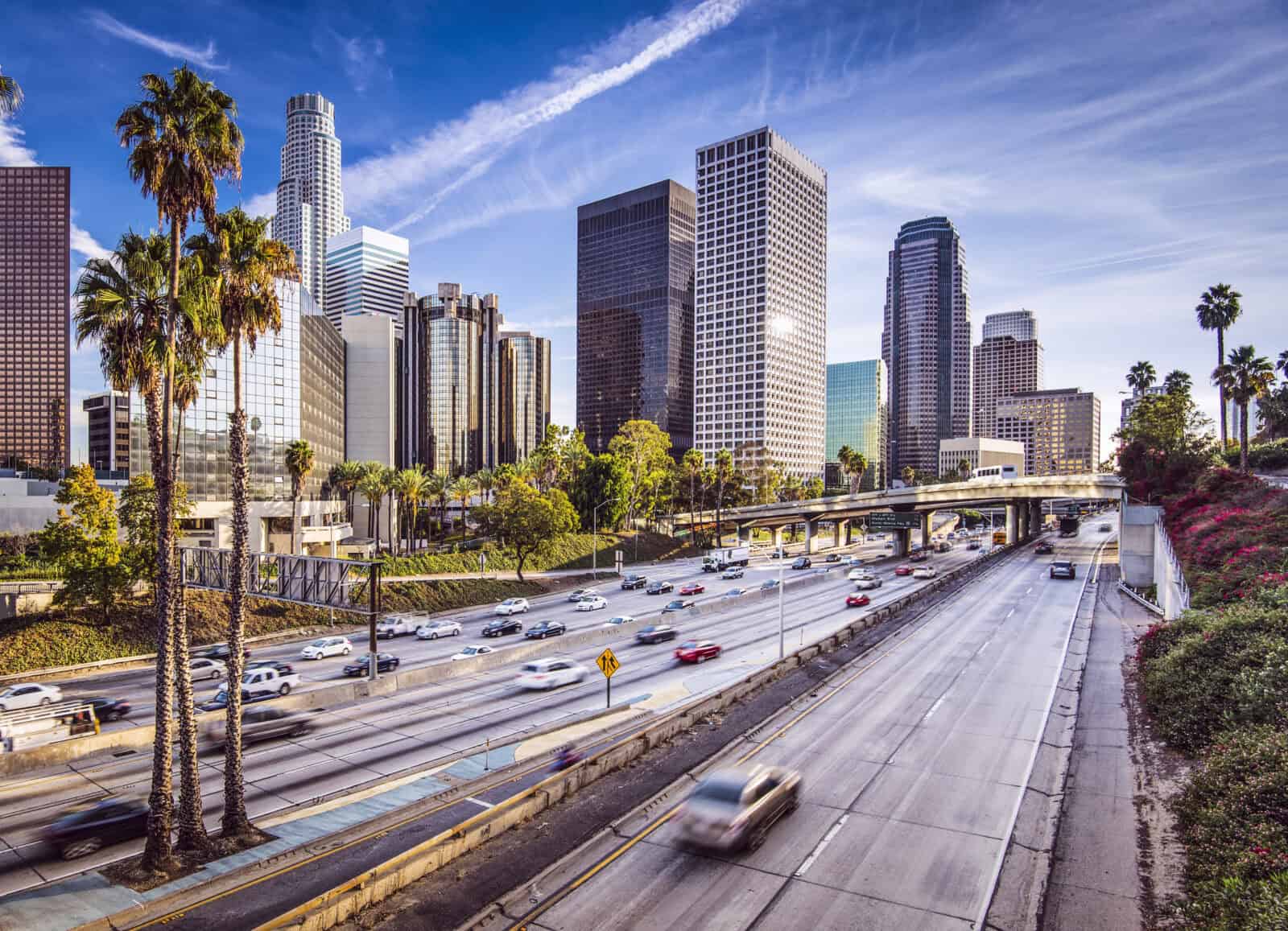
California’s Central Valley has lived through the sharpest swings of American water life. The California Department of Water Resources says groundwater supplies about 40% of the state’s water in an average year and up to 60% in dry years. The land keeps score.
About 4,000 square miles subsided by more than half a foot during the previous five years, a slow sinking that can damage canals and roads. Yet California also shows what recovery can look like. Local agencies reported 7.4 million acre-feet of managed recharge during water years 2022 through 2024.
That is real progress, though the state still estimates a 40-million-acre-foot deficit built over the prior two decades. The valley’s lesson is sobering and bright at once. Stormwater can help restore an aquifer, but patience has to outlast the drought.
Texas
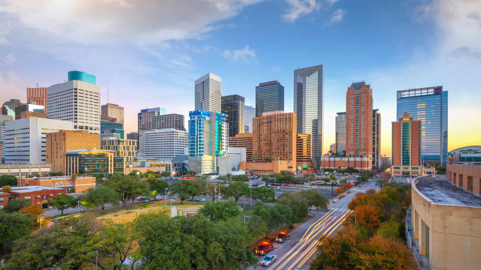
Texas stands at No. 1 because its High Plains losses are larger than those of any other state in the USGS comparison. Through 2019, Texas recorded an average water-level decline of 44.1 feet and a storage loss of 169.6 million acre-feet.
The Texas Water Development Board says some Ogallala areas have fallen more than 300 feet over the last 50 to 60 years, while roughly 95% of the water pumped from the aquifer supports irrigation.
The 2026 draft State Water Plan projects a 19% drop in existing groundwater supplies from 2030 to 2080. Hydrogeologist Robert Mace described the slow-moving danger plainly: “It’s a creeping disaster. It’s just happening slowly, every year.”
Texas has water districts, conservation projects, and farmers finding ways to use less. The scale of the loss means those efforts need to keep growing.
What the Country Can Still Save
This list carries a warning, though it does not have to end in despair. A 2026 review led by University of California, Santa Barbara researcher Scott Jasechko examined 67 cases of groundwater recovery worldwide.
In 81% of those cases, communities added an alternative water supply, and about two-thirds used more than one fix. Jasechko’s conclusion offers a steadier way to look ahead: “Groundwater depletion is not inevitable.”
The path is rarely easy. It asks for better data, patient local rules, recharge projects, crop changes, and public trust. Still, the water beneath America’s feet is not beyond care. It needs the kind of attention people give to anything they hope to pass on.
Key Takeaways

The top five states in this list carry some of the sharpest warnings: Texas lost 169.6 million acre-feet of High Plains storage, Kansas lost 72 million acre-feet, and Arizona has places where pumping exceeds natural recharge by 9 times. California, Arkansas, and the Mississippi Delta show another truth. Heavy farm demand can strain water systems that support both food production and everyday life.
For ordinary households, this story reaches far beyond a farm field. The 2024 PCAST report says groundwater serves about half of the U.S. population, so falling aquifers can shape food prices, local growth, drinking-water costs, and the health of small towns. The strongest response begins early, while communities still have choices.
You Might Like: 7 Everyday Appliances That Are Silently Increasing Your Water Costs
Disclaimer – This list is solely the author’s opinion based on research and publicly available information. It is not intended to be professional advice.
Like our content? Be sure to follow us